 Connexion


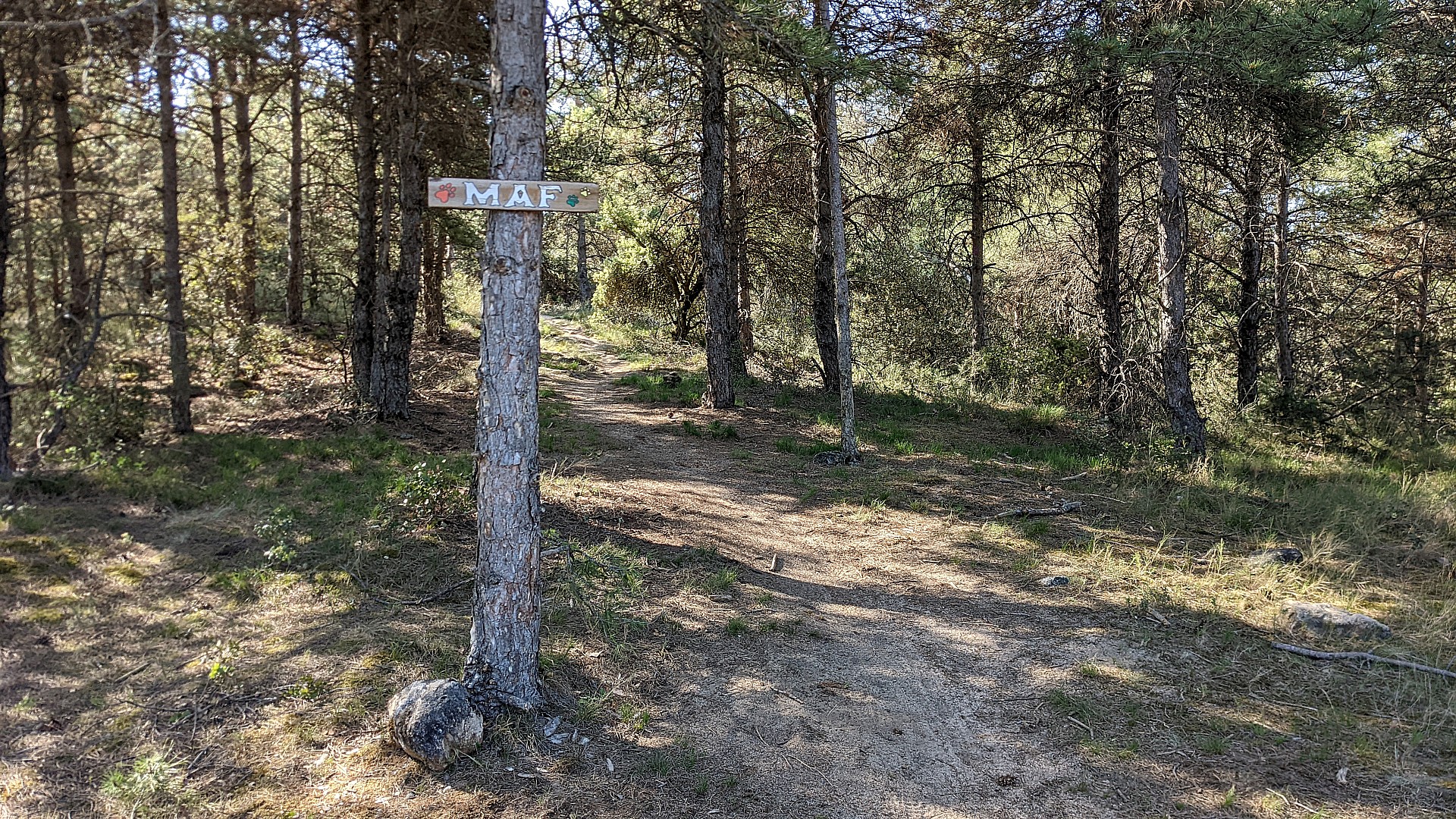
 Maf (Catalogne, Espagne)
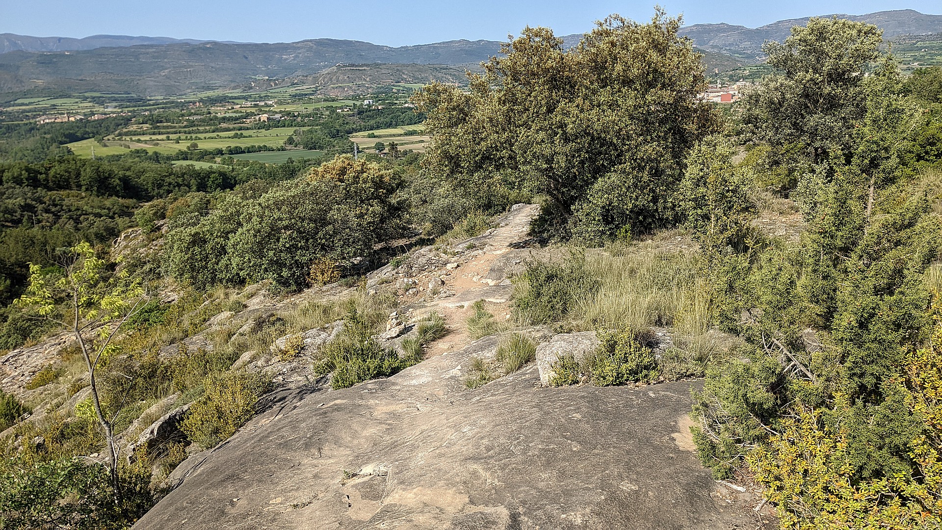
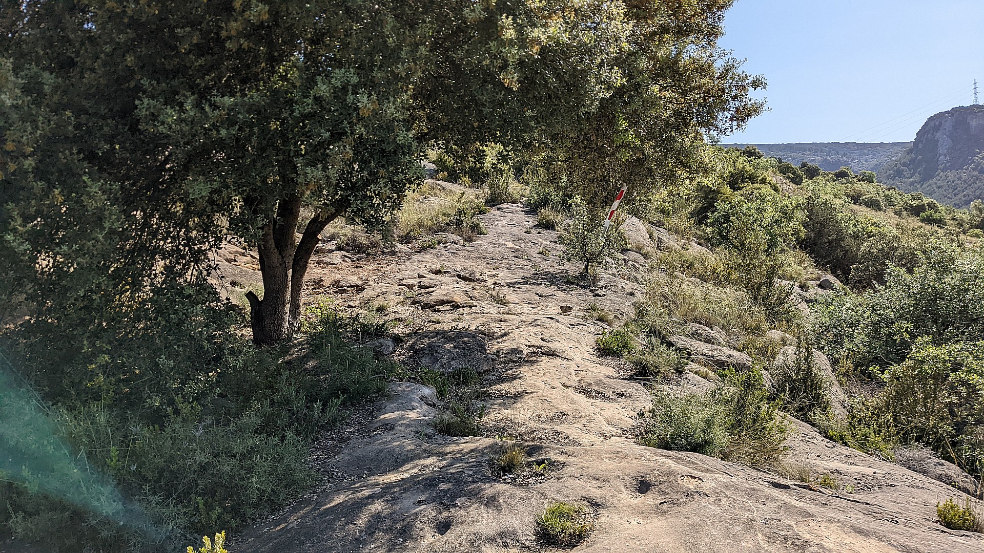
Terrain varié, principalement sur de belles dalles gréseuses et très bien shapé avec de belles vues.
Région : Catalogne
Massif : Alt Pirineu & Aran
Type : Sentier étroit (<50cm)
Départ : 42.1722 N / 0.924038 E
Longueur : 1700 m
Denivelé négatif : 160 m
Montée : Inroulable
Généralement parcouru : à la descente uniquement
Difficulté (descente) : T2
Roulabilité : Lisse
Exposition : E1
Interêt : 9.6/10 (7 votes)
Massif : Alt Pirineu & Aran
Type : Sentier étroit (<50cm)
Départ : 42.1722 N / 0.924038 E
Longueur : 1700 m
Denivelé négatif : 160 m
Montée : Inroulable
Généralement parcouru : à la descente uniquement
Difficulté (descente) : T2
Roulabilité : Lisse
Exposition : E1
Interêt :
Topos associés - Maf
- Tremp, Territori Lo Podall by INTENSE (57 km / 1898 m / T2)GPX

Sentiers proches - Maf
- Barranc de la Coma (T2)GPX
- Bartotrail + Dalton's #3 (T1)GPX
- Cassases #41 (T2)GPX
- Del Tir a St Bartomeu (T3)GPX
- Del tir a St. Bartomeu (T3)GPX
- Insules trails #7 (T2)GPX
- La Coma - Cassases #106 (T2)GPX
- Lo Búnker (T3)GPX
- Rock & Roll (T3)GPX
- Susterris Views (T3)GPX
- Tamaro (T2)GPX
 Commentaires


 Pour soutenir VTTour, faites le bon choix